An Entirely Different Map of the Country



An Entirely Different Map of the Country
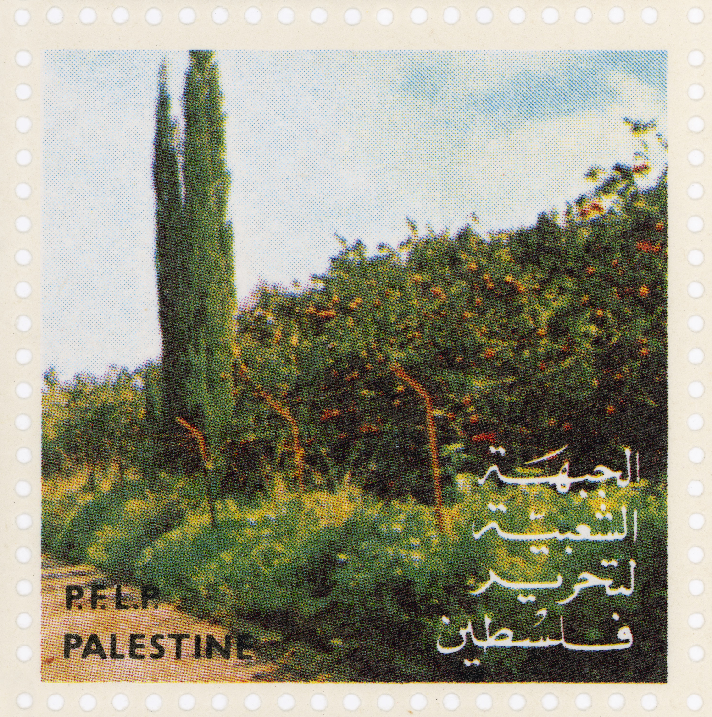
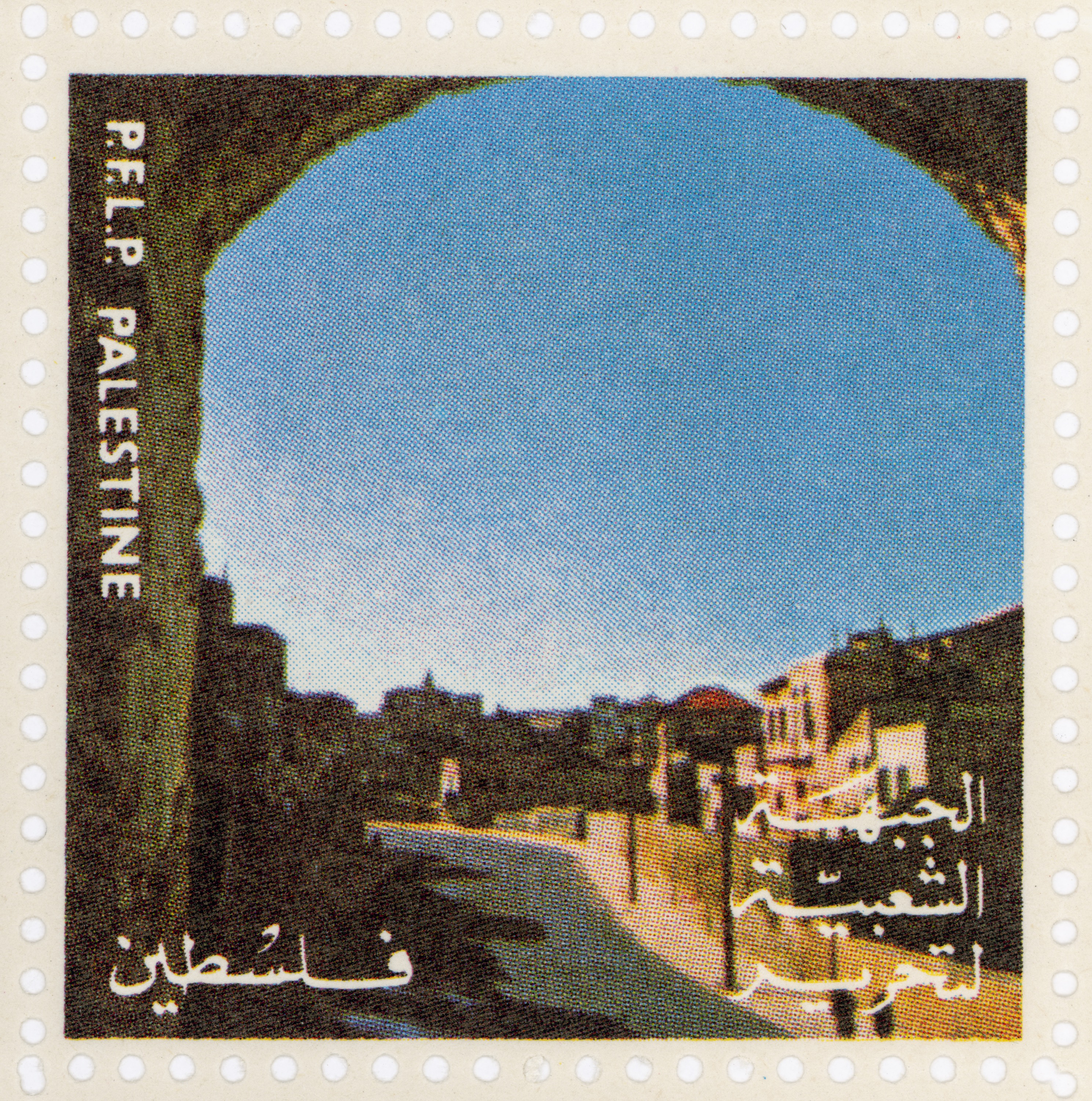
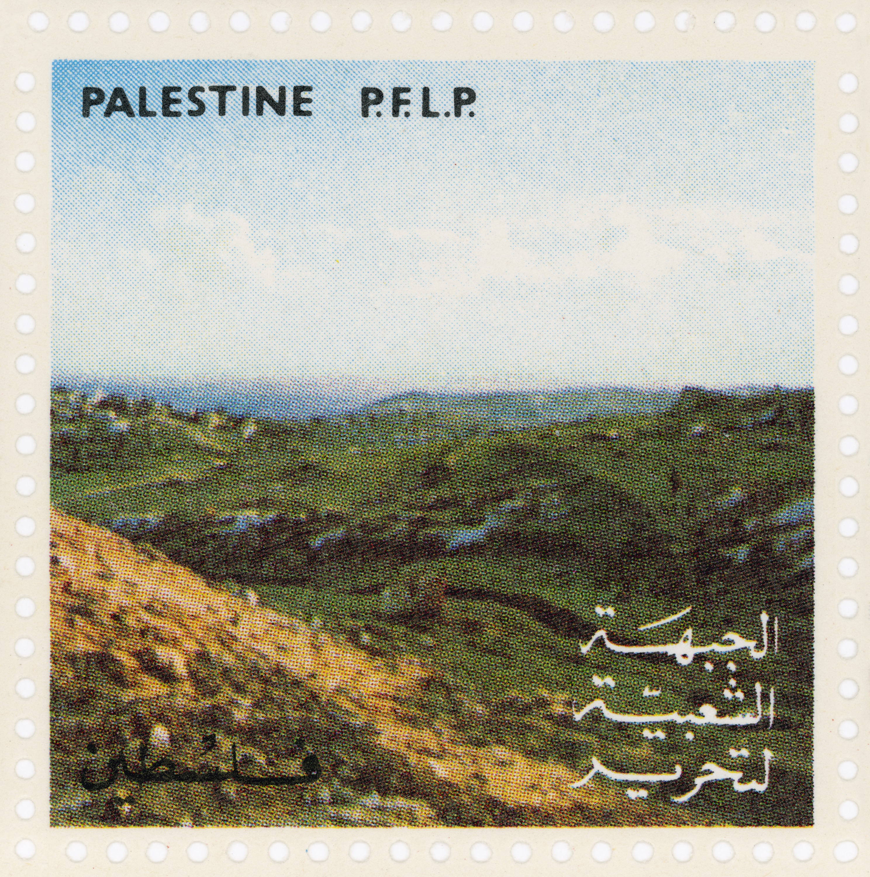
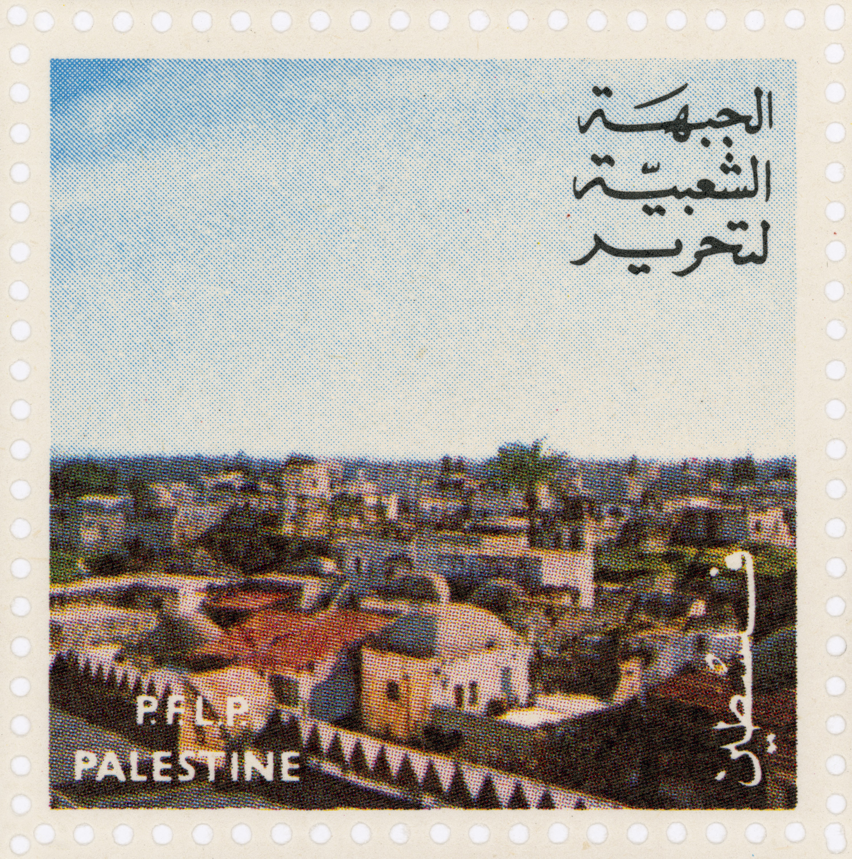
The starting point of Gaston Zvi Ickowicz's exhibit is a series of stamps/labels issued by the Popular Front for the Liberation of Palestine in the early 1970s, right after the 1967 occupation, when the first settlements began to be built. By scanning and printing, Ickowicz turned them from miniature items into large-scale landscape photographs. Unlike touristic postcards that usually focus on places and sites of religious, political or historic importance, such as the Al-Aqsa Mosque in Jerusalem or the Church of Annunciation in Nazareth, the creators of the stamps/labels chose to present generic and unidentified places, everyday landscapes like a neighborhood, orchard or field.
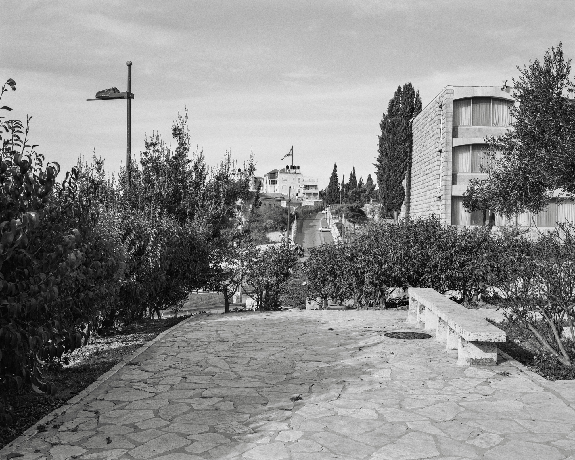
Alongside the enlarged stamps/labels, and in addition to two photos he took himself - one at Rachel's Tomb, that was separated by a wall from Bethlehem and annexed to Israel, and the other in Jerusalem (the A-Tur neighborhood), facing the Jewish settlement in the middle of the neighborhood - Ickowicz displays on tables a number of items from his personal archive of stamps, labels and envelopes. Among the displayed items are envelopes produced by Israeli agencies in 1967 in honor of the opening of post office branches in the occupied territories, under the auspices of the Israel Defense Forces. These envelopes indicate the beginning of the military occupation and Israeli control of the territories of Judea and Samaria, and carry the stamp of the IDF. They show images of villages and the local population. Next to the Israeli envelopes are Palestinian stamps/labels from different time periods, from the 1970s through the Oslo Accords and the establishment of the Palestinian Authority and to the present. In most of the cases they are not ordinary stamps meant for use, but labels issued by official or private parties as a means of propaganda or fundraising.
Ickowicz presents a multilayered rather than linear picture of the visual conflicts over the landscape, the borders and the history of Israel/Palestine. He draws our attention to the fact that the Israeli-Palestinian conflict is expressed through an attempt to control the everyday landscape and not just the holy one, to establish outline plans, annex territories and occupy land in order to control the map, or, if we go back to Ariel Sharon's promise in the early 1980s, to leave "an entirely different map of the country.“
Curator: Avi Lubin
© 2022 Gaston Zvi Ickowicz . All rights reserved.